
Use National Park Service guides for rules, safety, permits, closures, and official trip timing; use AllTrails for trail-by-trail feedback, photos, and recent hiker notes. That pairing works best because the National Park System includes 63 national parks and more than 400 total units, each with its own road status, reservation rules, hazards, and seasonal limits [source: National Park Service].
TLDR: For planning the best national park trips, start with the NPS website or NPS app, then cross-check hikes on AllTrails. For example, a first-time Zion visitor should confirm shuttle rules and Angels Landing permit details on NPS, then read recent AllTrails comments about mud, heat, and crowd timing. A smart split is about 70% official planning and 30% trail research. That balance saves time and cuts the chance of showing up to a closed road, full lot, or trail that is harder than expected.
Why the Two Tools Are Not Interchangeable
National Park Service guides and AllTrails solve different problems. The NPS tells you what is allowed, open, safe, and required. AllTrails tells you what hikers recently experienced, how a route feels, and whether the posted difficulty seems fair.
That difference matters at famous parks like Yosemite, Yellowstone, Zion, Grand Canyon, Acadia, Great Smoky Mountains, Rocky Mountain, Glacier, Olympic, and Arches. These parks are not just scenic stops. They are busy, regulated outdoor systems with changing conditions. Trails flood. Roads close. Shuttles fill. Timed entry rules appear. Wildlife activity shifts. Heat gets serious fast.
Honestly, it feels like a trap when a trail app shows a beautiful route but does not make the permit rule obvious until you have already built your day around it. That is why official park guidance should come first.
Where National Park Service Guides Win
The NPS is the best source for high-stakes details. If a mistake could cost you money, time, or safety, check the park’s official page.
- Closures: Trails, roads, campgrounds, overlooks, and visitor centers can close with little notice.
- Permits: Angels Landing, Half Dome, backcountry camping, river trips, and some timed entry systems need advance planning.
- Shuttles and parking: Parks like Zion and Grand Canyon rely heavily on transit during busy periods.
- Safety alerts: Heat, flash floods, bear activity, falling ice, wildfire smoke, and snowpack updates are usually posted officially.
- Accessibility: NPS pages often explain paved routes, grade, facilities, restroom access, and ranger program options.
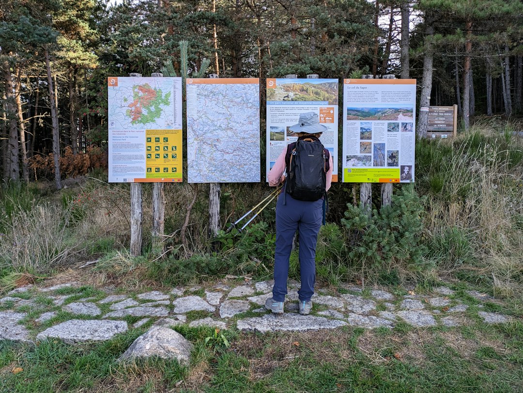
The official park maps are also cleaner for big-picture planning. You can see visitor centers, entrance stations, scenic roads, campgrounds, and major trailheads in context. That helps when choosing where to stay and how much driving your day will require.
The NPS app also allows offline access to park information, which helps in areas with weak cell service [source: National Park Service]. Do not assume you will have signal in a canyon, forest, basin, or high alpine area. You often will not.
Where AllTrails Is Better
AllTrails shines once you have picked a park and need to choose specific hikes. Its value comes from volume. Many routes have ratings, photos, GPS tracks, user comments, and difficulty tags. That can make a vague plan feel practical.
For example, NPS may say a trail is 5 miles round trip and strenuous. AllTrails comments may add that the first mile is shaded, the last section is slick after rain, and the parking lot was full by 8:15 a.m. Those notes are useful. They are not official, but they are real.
AllTrails is especially helpful for:
- Comparing hikes quickly: Filter by distance, rating, elevation gain, and route type.
- Seeing recent photos: Snow, water levels, crowding, haze, and trail surfaces are easier to judge visually.
- Finding less famous routes: Some excellent hikes sit outside the standard brochure list.
- Reading human reactions: “Easy” means different things to different people, but patterns in comments help.
- Tracking your route: GPS can reduce wrong turns, especially on junction-heavy trails.
The downside? Expect to waste time on repeated upgrade prompts if you use the free version heavily. Offline maps sit behind a paid plan, and that gets annoying when you are trying to prep fast before a trip.
Best Use Case: A First Visit to Yosemite
Say you are planning three days in Yosemite National Park. Start on the NPS site. Check entrance reservation rules, road openings, shuttle status, campground alerts, and current conditions. Tioga Road and Glacier Point Road can change a trip completely, especially in shoulder seasons.
Then move to AllTrails. Compare Mist Trail, Mirror Lake, Sentinel Dome, Taft Point, and Lower Yosemite Fall. Read recent reviews. Look for comments on water spray, icy steps, exposed sections, and parking pressure. If ten hikers in the last week mention slippery granite, take that seriously.
The best plan may end up being simple: official source for can we do it?, AllTrails for should we do it today?

Best Use Case: Zion and Permit-Sensitive Parks
Zion is where the difference becomes even more clear. Angels Landing is not just a popular hike. It uses a permit system, and the official NPS page is the place to confirm how that works. AllTrails can help with fear-of-heights comments, chain section photos, and timing reports, but it should not be your source for legal access.
The same idea applies to Glacier with vehicle reservations, Rocky Mountain with timed entry, Arches during peak periods, and Grand Canyon for backcountry planning. Parks change rules to manage crowds. Apps may lag. Old reviews can mislead you.
Which Tool Helps You Find the “Best” National Parks?
If you are still choosing a destination, NPS guides are stronger for setting expectations. They explain seasons, park regions, services, and major features. This helps you decide between, say, Olympic for rainforests and coast, Bryce Canyon for hoodoos and short viewpoints, or Great Smoky Mountains for family-friendly drives and waterfalls.
AllTrails is better when “best” means best hike for your fitness level. Maybe you want a 3-mile loop with broad views. Maybe you want a 12-mile climb with fewer people. AllTrails makes that search fast.
For families, beginners, and mixed-ability groups, the official park site should carry more weight. A route with five stars may still be wrong for a child, a nervous hiker, or someone visiting during extreme heat.
A Simple Planning Workflow
- Pick the park using NPS pages. Check season, access, lodging areas, fees, and major closures.
- Build a rough schedule. Group sights by region to cut driving time.
- Check permits and reservations. Do this before booking flights or cabins if your main activity depends on access.
- Use AllTrails to compare hikes. Look at distance, elevation gain, photos, and recent comments.
- Download offline info. Save official maps and trail maps before entering the park.
- Recheck NPS alerts the night before. Conditions can change overnight.
Final Verdict
National Park Service guides are the foundation. They keep your trip legal, safe, and realistic. AllTrails is the field report. It adds texture, recent hiker insight, photos, and practical trail comparisons.
If you use only AllTrails, you may miss rules and closures. If you use only NPS guides, you may miss helpful trail chatter and current user photos. Use both, in that order. Your trip will feel smoother, your plans will be less fragile, and your time in the park will be spent hiking instead of fixing avoidable mistakes.